

Rochester Hills: high sand, low river bottoms
Rochester Hills drops about 340 feet from one corner to the other, from roughly 1,030 feet up in the northwest to about 690 down in the southeast. That spread is the whole story for basements here. Up on the higher ground the soil is sandy and gravelly and water drains fast. Down along the Clinton River and Paint Creek the ground is lower, wetter and closer to the water table. Your address tells us a lot before we ever see the basement.
We’re right next door. Shelby Township borders Rochester Hills on the east, so for most of the city we’re 15 to 20 minutes out.
Four hundred subdivisions and counting
This was Avon Township until 1984, and the Avon name is still on Avon Road and more than two dozen subdivisions, Avon Heights near Avon and Livernois among them. The city’s museum counts over 400 subdivision plats since the first one in 1896, with the heaviest building in the 1980s and 1990s. Some carry the names of the farm families who sold them off. Juengel’s Orchards has streets named for fruit varieties, Montmorency and Kalhaven and Stark. Eddington Farms on Rochester Road was the Eddy family’s land.
That long timeline means a basement in Rochester Hills could be almost anything.
- Older pockets like Brooklands Park, in the Brooklands area west of Dequindre between Auburn and Hamlin, have ranches from before the mid-1970s, mostly on concrete block. Expect water through mortar joints and the block cores.
- The 1970s and early 80s houses usually have poured concrete walls. They leak at the tie-rod holes left by the forms, and at the vertical shrinkage cracks that open up in nearly every poured wall.
- The 1980s and 1990s colonials have deep basements, often with egress windows cut in later. The backfill around those foundations was dumped in loose and keeps settling for years, which makes low spots that steer water straight at the wall.
- Newer infill on the last open parcels tends to have good walls and bad grading, at least for the first few years.
The Clinton River and Paint Creek corridors
The Clinton River once had at least six dams across it inside the old township lines, most of them for mills. Today, the low subdivisions near the Clinton River Trail, around Yates and Bloomer Park, and along Paint Creek sit closer to the groundwater. After a big storm the water table there rises and stays up for days. That’s clear water at the floor joint, not a sewer problem.
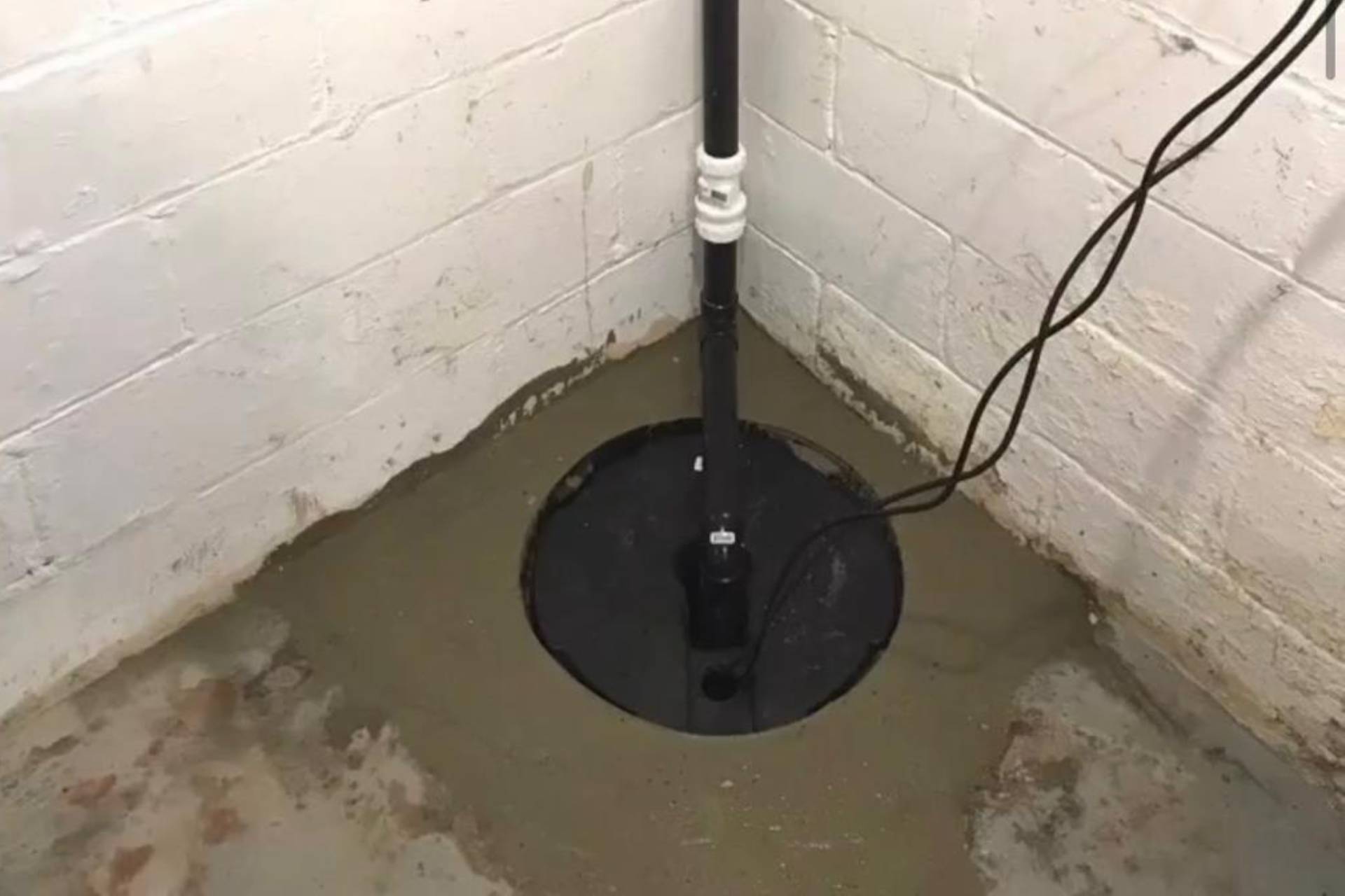
In those neighborhoods the sump pump is the real line of defense, and it fails at the worst time, when a storm knocks out power. We’d put a battery or water-powered backup on any sump in the river corridors. Our sump pump page covers the options.
Up on the sandy ground
Higher up, the sand drains quickly, so leaks there are usually about the house rather than the ground. A shrinkage crack in a poured wall, a window well with no drain, a downspout dumping against settled backfill. For a single crack we’d inject it with polyurethane and be done. Sometimes that’s the whole job, and we’d rather tell you that than sell you a system. Crack injection is quick, and it carries the same warranty.
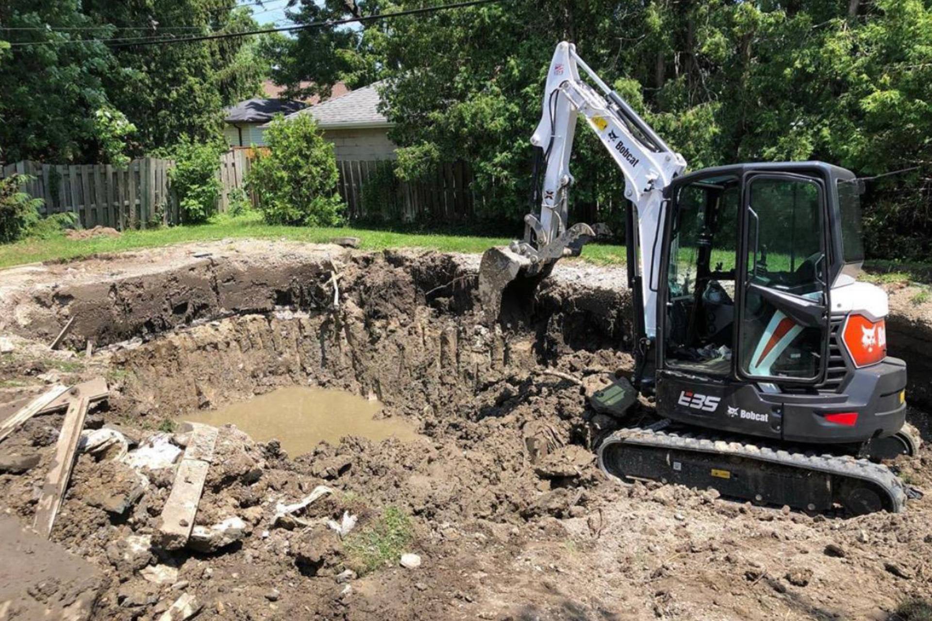
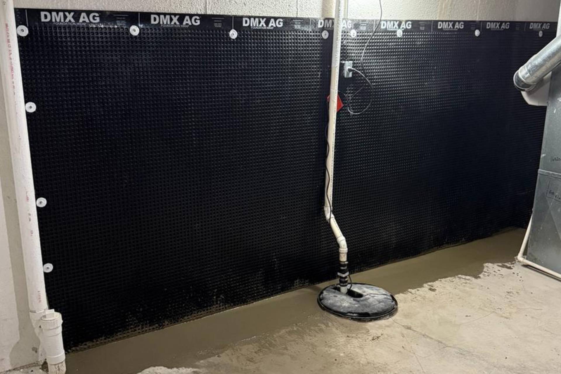
If water is coming in at several points or the floor is wet along a whole wall, then we start talking about an interior drain. Exterior work makes sense for a single wall with bad backfill where the yard is open enough to dig.
A note on settling backfill
If you’re in a 1990s house and you see a strip of lawn along the foundation that sits lower than the rest of the yard, that’s backfill that settled. Building it back up so it slopes away from the house is often the cheapest fix there is. It’s not glamorous work, and a landscaper can do it as well as we can.